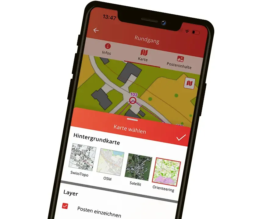
The right maps for every use
A good map is the basis of every successful outdoor experience. The Fixcontrol system gives you maximum flexibility by supporting both versatile standard maps and highly specialised maps of your own. This way, your participants always have the perfect basis for finding their way.


Versatile base maps: available instantly
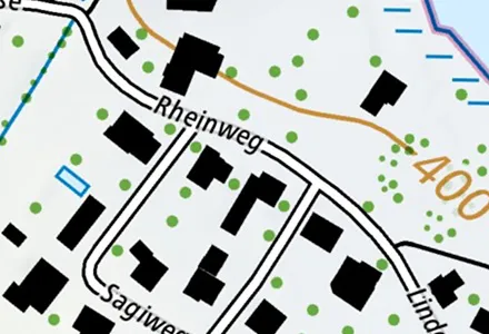
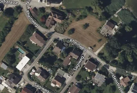
Several high-quality base maps are built into the FixFinder app as standard and are instantly available to all users. You can switch between views with a single click:
Swisstopo: The official national maps of Switzerland in the finest detail.
OpenStreetMap: Clear, easy-to-read maps worldwide.
Satellite image: A photorealistic view of the surroundings.
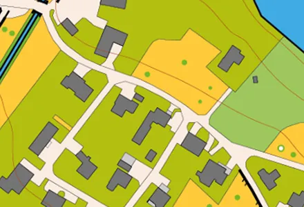
For professional use or particularly creative applications, you can upload your own maps. The only requirement: the map must be georeferenced so that every point on your map matches the real GPS position exactly. You manage your special maps centrally in MyFixcontrol.
Orienteering maps: Upload high-resolution orienteering maps for training and competitions.
Site plans & sketch maps: Use your own plans for company premises, parks or special events.
Historical or fantasy maps: Create unique themed trails and treasure hunts.
Thanks to GPS, your own position or the control points can also be shown on the map.